
The Best Google Maps Alternatives
Explore Google Maps alternatives for navigation, privacy and custom maps, including OpenStreetMap, Mapbox and Waze, plus OpenFreeMap for free, open-source hosting and 3D buildings.
1 Sep 20266 min read
Also worth a look
Google Maps is the go-to navigation app for most of us, but it is not always the best tool for the job. Maybe you want stronger privacy, offline maps for the trail, open data you can actually reuse, or a mapping platform you can build a product on top of.
Whatever the reason, there are excellent Google Maps alternatives worth knowing about. Here are the ones we keep coming back to, from the long-established consumer navigation apps and commercial developer platforms through to free, open-source map hosting with OpenFreeMap.
1. OpenStreetMap
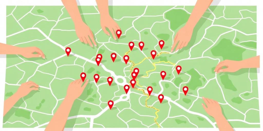
OpenStreetMap (OSM) is the most important entry on this list. It is a free, open, community-driven map of the world, built since 2004 by millions of volunteers who survey roads, footpaths, buildings and points of interest.
Because the data is open, OSM powers a huge ecosystem: apps like OsmAnd, Organic Maps and Komoot, plus maps inside countless websites and products, all draw on it. In many regions, especially for footpaths, cycle trails and rural detail, OpenStreetMap is noticeably better than Google.
- Best for: hikers, cyclists, open-data projects, anyone who wants maps not controlled by one company
- Standout feature: completely free and open data, editable by anyone
- Watch out for: no built-in turn-by-turn app of its own, so pair it with OsmAnd or Organic Maps. Its community tile servers have usage policies and are not an unlimited hosting service for your app; use a dedicated provider such as OpenFreeMap or self-host
2. Mapbox
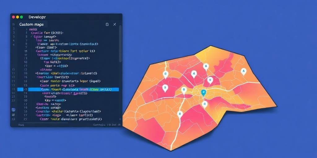
Mapbox is the mapping platform behind maps you already use every day in apps like Strava, Snapchat and The Weather Channel. It is aimed at developers and businesses who want to design their own maps rather than embed a generic one.
Mapbox gives you custom-styled vector maps, geocoding, routing, search and satellite imagery, all through well-documented APIs and SDKs for web and mobile. If you are building an app that needs maps, this is usually the first serious Google Maps Platform alternative people evaluate.
- Best for: developers, startups and brands building custom map experiences
- Standout feature: total design control over map styling, plus a generous free tier for smaller projects
- Watch out for: it is a platform, not a consumer navigation app
3. Waze

Yes, Google owns Waze, but it remains a genuinely different experience. Waze is built around real-time crowdsourced reports: accidents, speed traps, road closures and hazards, flagged by drivers around you.
For commuting and driving in heavy traffic, its rerouting is often faster to react than Google Maps itself.
- Best for: daily drivers and commuters
- Standout feature: live hazard and police reports from other drivers
- Watch out for: driving-focused only, and still part of Google if privacy is your motivation
4. Apple Maps
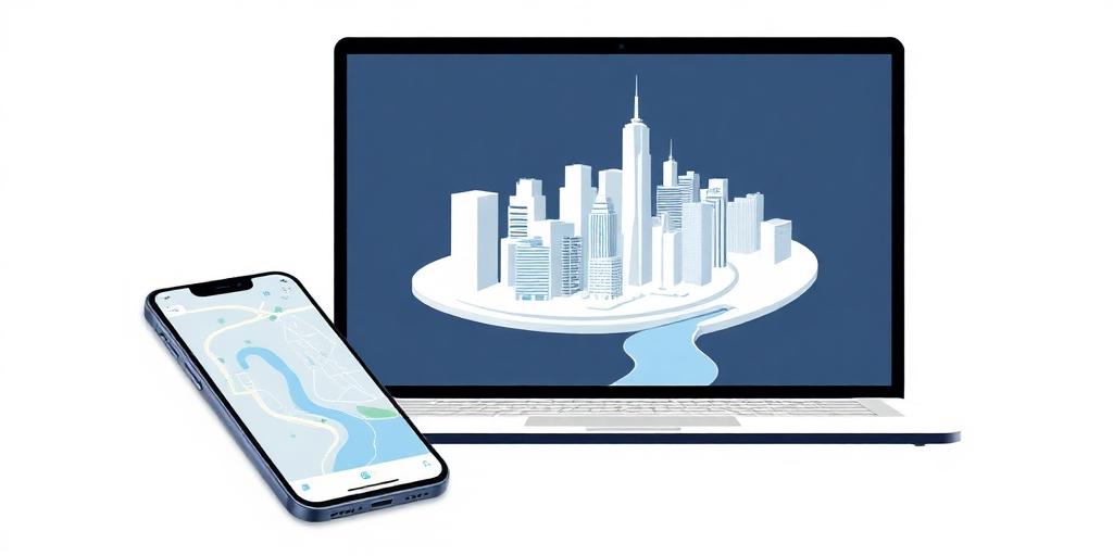
Apple Maps has come a long way since its rocky launch. On iPhone, iPad and Mac it offers polished turn-by-turn navigation, transit directions, and beautifully detailed 3D city views in a growing list of places.
It is also the most privacy-conscious of the big mainstream options: Apple processes much of your location data on-device rather than tying it to an advertising profile.
- Best for: anyone in the Apple ecosystem
- Standout feature: privacy-first design and excellent 3D city maps
- Watch out for: Apple devices only
5. HERE WeGo

HERE WeGo comes from HERE Technologies, the mapping company behind the in-car navigation systems of several major car brands. Its consumer app is strong on public transport routing and downloadable offline maps for entire countries.
- Best for: city travel and transit-heavy trips
- Standout feature: excellent offline maps and multi-modal routing
- Watch out for: points of interest can be thinner than Google in smaller towns
6. TomTom

TomTom has decades of navigation experience, and its TomTom GO app brings accurate traffic data, speed camera alerts and lane guidance to your phone. Like Mapbox, it also licenses its maps and APIs to businesses.
- Best for: drivers who want a dedicated sat-nav feel on their phone
- Standout feature: highly accurate traffic and speed camera data
- Watch out for: the best features sit behind a subscription
7. OsmAnd
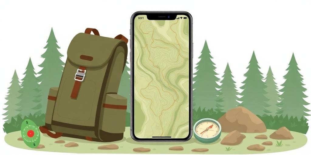
OsmAnd is the power-user pick. Built on OpenStreetMap data, it downloads detailed maps to your phone so everything works completely offline: navigation, contour lines, hillshades, ski routes and more.
- Best for: hiking, travel abroad, and anywhere with patchy signal
- Standout feature: full offline functionality with topographic detail
- Watch out for: the interface has a learning curve
8. MapQuest
The veteran of the list. MapQuest has been around since the 1990s and still does simple route planning well, including multi-stop trips and a handy print-friendly output for road trips.
- Best for: quick, no-fuss directions on the desktop
- Standout feature: simple multi-stop route planning
- Watch out for: the interface feels dated next to modern rivals
9. OpenFreeMap
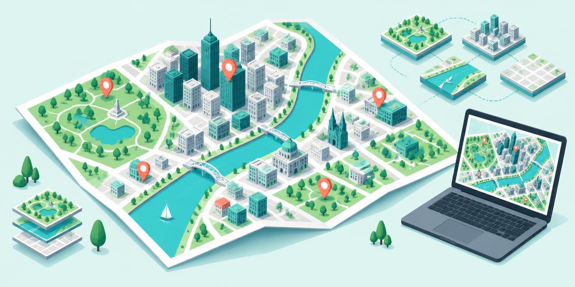
OpenFreeMap is an important option for anyone building maps into a website or app who wants a genuinely free, open-source alternative to commercial map hosting. Its public instance offers worldwide vector maps with no limits on map views or requests, no API keys and no registration, according to the project. There are no per-view charges or paid tiers to work around, and donations help support the service.
Crucially, OpenFreeMap is built on OpenStreetMap data, not a competing map database. OSM data is already free and open; the restrictions developers can run into apply to using OpenStreetMap's community tile servers, not to the data itself. OpenFreeMap provides separate hosting without those published map-view or request limits, making it particularly appealing for public websites, startups and open-source projects.
It also supports 3D building views, similar in concept to Mapbox. With MapLibre GL JS, you can tilt the map and display extruded buildings using the available building-height data. There is a dedicated 3D style alongside other ready-made styles, and you can customise the appearance to suit your product. Building detail depends on the underlying map data, so do not expect photorealistic coverage of every city.
The full hosting stack is open source and can be self-hosted if you want more control over your infrastructure. Map and data attribution still apply: free hosting does not remove the OpenStreetMap attribution requirements.
It sits last on this list for a reason: OpenFreeMap is a younger, community-run project, so it does not yet have the track record, support or documentation depth of the commercial platforms above. If your maps are mission-critical, a mature provider is the safer bet, and OpenFreeMap is at its best as a low-risk, zero-cost option for side projects, prototypes and open-source work.
- Best for: developers, startups and open-source projects that need free, customisable maps without metered map-view charges
- Standout feature: free public vector-tile hosting with no published request limits, plus MapLibre-powered 3D buildings and self-hosting
- Watch out for: it supplies map tiles, not a complete Google Maps replacement; address search, routing, live traffic and satellite imagery require separate services. It is also a small, donation-supported project rather than a company, so assess availability and support requirements before relying on it for a critical service.
Which Google Maps alternative should you choose?
It depends on what you are actually doing:
- Driving in traffic: Waze or TomTom
- Everyday navigation on iPhone: Apple Maps
- Privacy and open data: OpenStreetMap with OsmAnd or Organic Maps
- Offline travel and hiking: OsmAnd or HERE WeGo
- Commercial mapping APIs, routing and search: Mapbox
- Free, open-source maps for your website or app: OpenFreeMap, including 3D buildings through MapLibre
Our suggestion: install OpenStreetMap-based OsmAnd alongside one driving app like Waze. If you are a developer, Mapbox is the mature, well-supported starting point for custom maps, routing and search. If you want free, open-source hosting with no metered map views and are comfortable with a smaller project, OpenFreeMap is well worth a look, including its 3D buildings through MapLibre. You might not open Google Maps nearly as often as you think.
 MileIQ · Member offer30 days free + 10% off MileIQ TeamsAutomatic mileage tracking with IRS-ready reports — reclaim hours of manual logging.Get the code